Flaming Gorge National Recreation Area:
Sheep Creek Geological Loop Drive

The Basics
ADDRESS: the northern side of the loop intersects with Utah Highway 44, approximately 6 miles south of Manila, Utah; the 13 mile long loop eventually reconnects to Utah Highway 44
LAST VISIT: 2024
VIDEO: Link to Flaming Gorge Video on YouTube
Sheep Creek Geological Loop Drive was our favorite destination in the Flaming Gorge area!
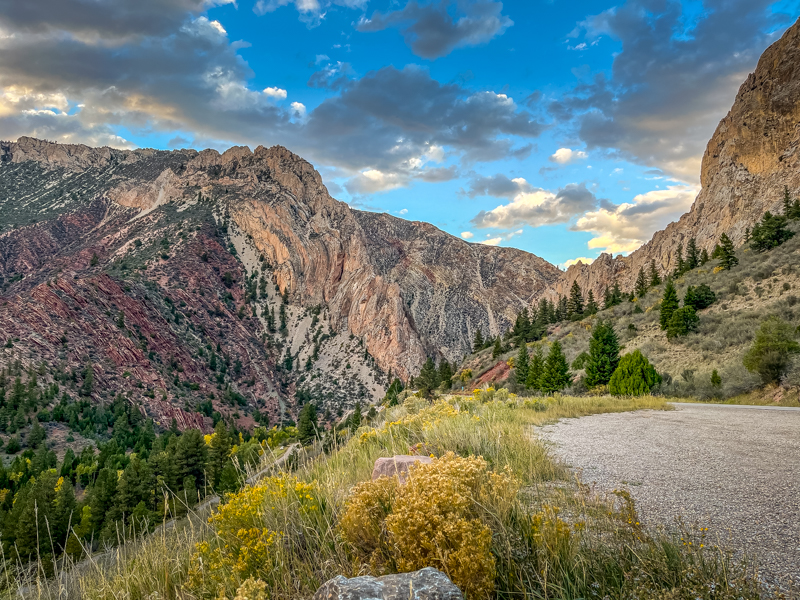
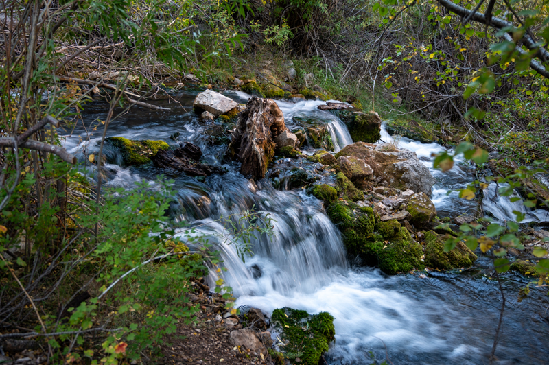
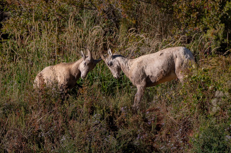
The dramatic mountain landscape contained rock formations in a wide array of colors that would rapidly change with the varied light around sunset. That alone would have been enough to make it a favorite location, but there was also a picturesque stream that contained a small waterfall fairly close to the road, and we saw many bighorn sheep in the area.
The Navajo Cliffs Picnic Area was a particularly stunning area at sunset, and that is located right off the highway at the beginning (or end, depending on where you start) of the loop.
Don't let the fact that this is a Forest Service road deter you; this one is well-maintained and did not require high clearance 4WD.


Our Opinion
This is our favorite spot near Flaming Gorge Reservoir. Don't miss this one!


